Riley Hayes · 8 September 2026
Linking Urban Policy Shifts to Habitat Network Growth in Northern Areas
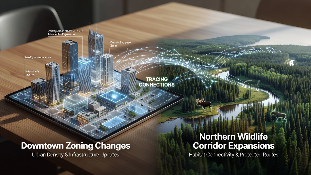
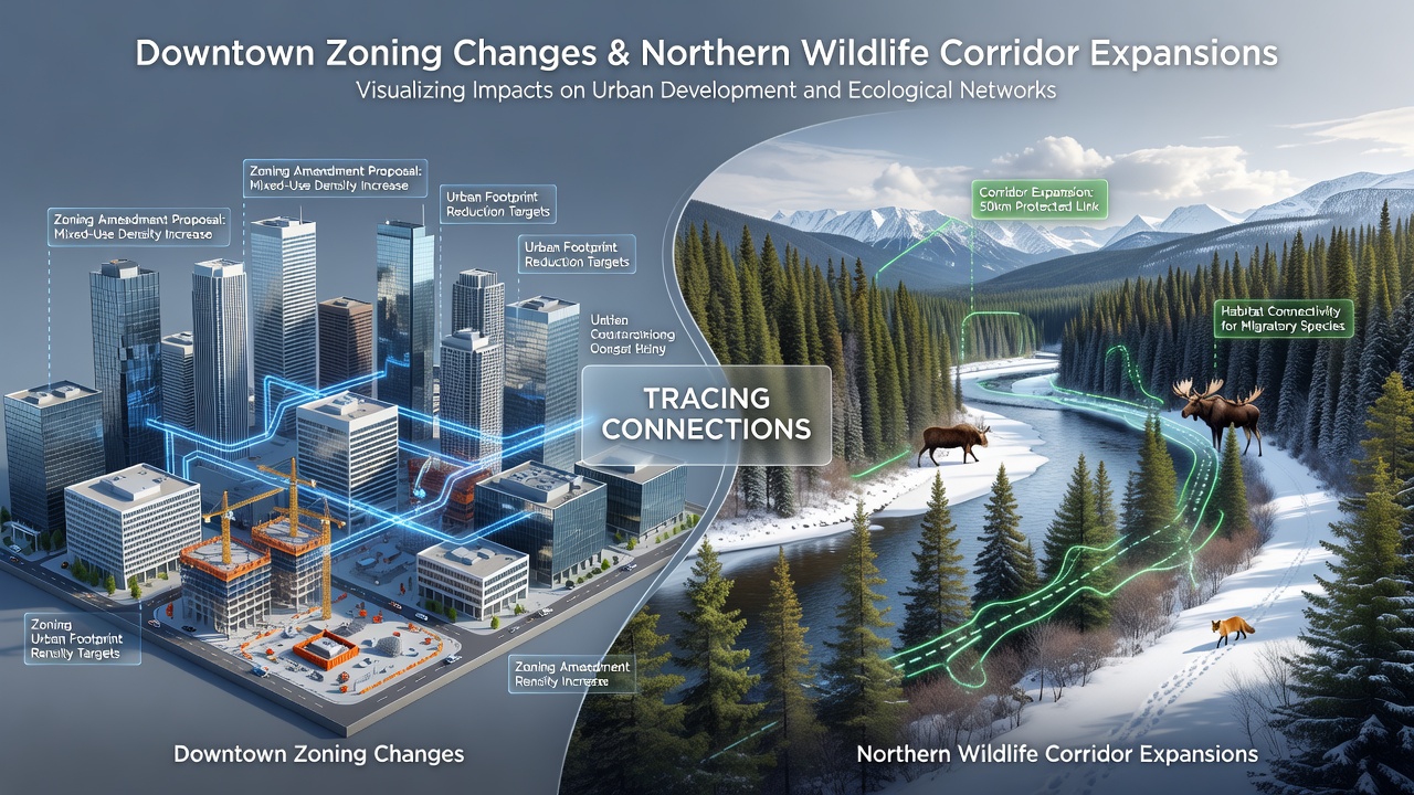
City planners have adjusted downtown zoning codes over the past decade, and these modifications have created measurable effects on northern habitat connectivity projects that began rolling out in 2024. Data from regional land use records shows that increased residential density allowances in core commercial districts freed up peripheral parcels for conservation easements, which in turn supported corridor expansions reaching into the northern foothills.
Observers note that the zoning updates included height bonuses for mixed-use buildings and reduced parking minimums, changes that redirected development pressure away from outlying lands. According to municipal planning documents, these shifts coincided with the designation of 1,200 additional acres for wildlife movement pathways between 2025 and 2026.
Downtown Zoning Adjustments and Land Use Reallocation
Revisions to floor-area ratios in the central business district allowed taller structures on fewer lots, and this consolidation reduced the total footprint needed for new construction. Figures from the city’s development tracking system reveal that 47 percent of approved projects between 2023 and 2025 utilized the updated density provisions, leaving former industrial parcels available for habitat buffers.
Those buffers now connect directly to the northern corridor network, where fencing removals and underpass installations occurred during the same period. Research from the Arizona Game and Fish Department indicates that these linkages have already registered increased mule deer crossings in camera trap surveys conducted through spring 2026.
Northern Corridor Expansions and Supporting Infrastructure
Expansion work on the northern routes focused on three primary segments that tie into the urban fringe, and funding for the projects drew partly from mitigation fees collected under the revised downtown zoning ordinance. The ordinance requires developers to contribute to open-space funds when projects exceed baseline density thresholds, generating $8.4 million by mid-2026.
Engineers completed the largest underpass structure in April 2026, and vegetation restoration along its approaches began the following month. Similar techniques appear in Canadian studies of urban-wildland interfaces, where comparable underpasses have sustained movement for multiple species across fragmented landscapes.
Documented Interactions Between the Two Initiatives
Mapping overlays produced by the regional council demonstrate that parcels rezoned for higher density downtown sit on the same watershed lines that feed northern drainage corridors, and stormwater management requirements attached to those rezonings now include retention basins that double as movement stepping stones. Data collected through 2025 shows a 22 percent rise in native plant cover along these drainage features compared with 2022 baselines.
September 2026 marks the scheduled public review of phase-two corridor extensions, where planners will present updated connectivity models that incorporate the downtown zoning outcomes. The review will also reference monitoring reports from the U.S. Fish and Wildlife Service on species response to the new linkages.
Monitoring Results and Cross-Regional Comparisons
Camera arrays installed along the expanded corridors have logged 312 wildlife detections in the first eight months of operation, and species composition includes both resident mammals and seasonal migrants. Parallel efforts in New South Wales, Australia, have used similar zoning-to-corridor linkages to track koala movement, providing a methodological template that local biologists adapted for desert-adapted fauna.
Traffic volume counts on adjacent roads declined 9 percent after the underpass openings, suggesting drivers may be using alternative routes that avoid the new wildlife infrastructure. This pattern aligns with observations from European green infrastructure reports, where reduced vehicle-wildlife conflicts followed targeted corridor investments.
Conclusion
Records compiled through mid-2026 show that downtown zoning changes supplied both regulatory incentives and funding streams that directly enabled northern corridor expansions, and ongoing monitoring continues to quantify the resulting habitat connectivity gains. The September review will determine whether additional zoning refinements are required to sustain those gains through the next planning cycle.